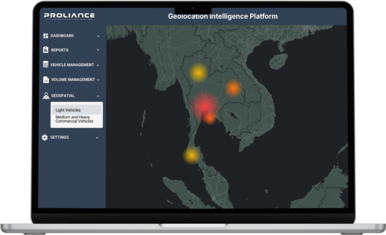
Hyper-Local Geolocation Intelligence
Go beyond regional averages. Access verified vehicle registration data down to Province, District, and Sub-district levels to optimize territory planning and capture local demand with precision.
Data Attributes
| Attribute | Details |
|---|---|
| Region | Geographic region classification (e.g., Central, North) |
| Province/State | Provincial-level breakdowns (e.g., Chonburi, Chiang Mai) |
| District/City | City and district segmentation (e.g., Si Racha, Mueang) |
| Tambon (Subdistrict) | Ultra-granular area data (e.g., Bo Win, Ang Sila) |
| Postal Code | Postal/zip code mapping (e.g., 20230) |
| Units | Registration volume by location |
Geographic Coverage Comparison
| Country/Region | Minimum Granularity | Update Frequency | Data Coverage | Est. Market Volume |
|---|---|---|---|---|
| 🇹🇭 Thailand | Subdistrict (Tambon) + Postcode | Monthly | All Area | 50,000+ vehicles/month |
| 🇵🇭 Philippines | City/Municipality + Postcode | Quarterly | All Area | 30,000 vehicles/quarter |
| 🇮🇳 India | State | Monthly | All Area | 250,000+ vehicles/month |
| 🇸🇦 GCC Region | City/Emirate + Zone | Quarterly | All Area | 180,000 vehicles/quarter |
| 🇻🇳 Vietnam | Province + District* | Available upon request | All Area | Varies |
| 🇮🇩 Indonesia | Province + City* | Available upon request | All Area | Varies |
Use Cases
Territory Optimization
Segment territories by demand and assign sales resources efficiently
Dealer Network Planning
Identify high-growth zones and optimize dealer locations for market penetration
Competitor Geographic Tracking
Monitor competitor brand strength in specific areas and adjust strategy
Market Penetration Analysis
Track brand performance by geographic region and find untapped markets
Frequently Asked Questions
Yes, geographic granularity varies by country based on data availability and government records. Thailand offers sub-district (Tambon) and postal code-level detail; Philippines provides city/municipality and postal code segmentation; India includes state breakdowns. We customize geographic boundaries to match your specific market requirements and data structure availability.
Update frequency is tailored to each market’s data release cycle. Thailand data is updated monthly; Philippines operates on a quarterly schedule; other regions may vary. We ensure timely delivery aligned with official transportation authority reporting cycles. Custom refresh frequencies are available for enterprise clients with specific analytical needs.
Absolutely. Geolocation data pairs perfectly with our EV, brand, and ownership type datasets for multi-dimensional analysis.
We deliver standardized Excel (.xlsx) ready for immediate import into BI tools like PowerBI, Tableau, or your internal GIS software.
Still have questions? Contact Us
FREE SAMPLE DATASET
Evaluate Our Data Granularity & Standards
Experience the depth of Proliance’s automotive intelligence. Download our sample file to review comprehensive column headers, data formatting, and the localized vehicle classification standards we use for the Thai market. Ensure our data aligns with your analytical requirements before you commit.
- Actual Data Columns: See all available fields (Make, Model, Body Style).
- Excel Format (.xlsx): Flat-file database structure, ready for Pivot Tables.
- Granularity Check: Evaluate the level of detail included.
Fill out the form below, and our team will email the sample file to you shortly.
Stop Guessing with Sales Reports. Start Strategizing with On-Road Reality.
Join top OEMs and consultancies who leverage our granular, verified registration data for mission-critical decisions.